Showing posts with label Garmin Trail Data. Show all posts

Thursday, September 1, 2011

Eklutna Lake Trail


Leaving Anchorage and heading north the rain was spitting and the weather was looking like it could go either way. As I took the exit for Eklutna and made some progress up the winding road the sun was shining up ahead. The sun continued to follow us back home like a stray dog who desperately wants a home. While some were able to go farther then others due to their children's speed. The average of the group was somewhere around 4 miles.

This is a great stroller friendly trail! Though it isn't paved it is wide and flat, hugging the norther shore of the glacier blue lake. Many of the toddlers took their sweet time exploring. Throwing sticks & rocks, splashing in puddles and pushing their own strollers, all while snacking in between. Great conversations were had by parents and new connections formed. Alaska is a small world.

This stray sun has seemed to make a home over our house. I think we'll keep her and call her our own.


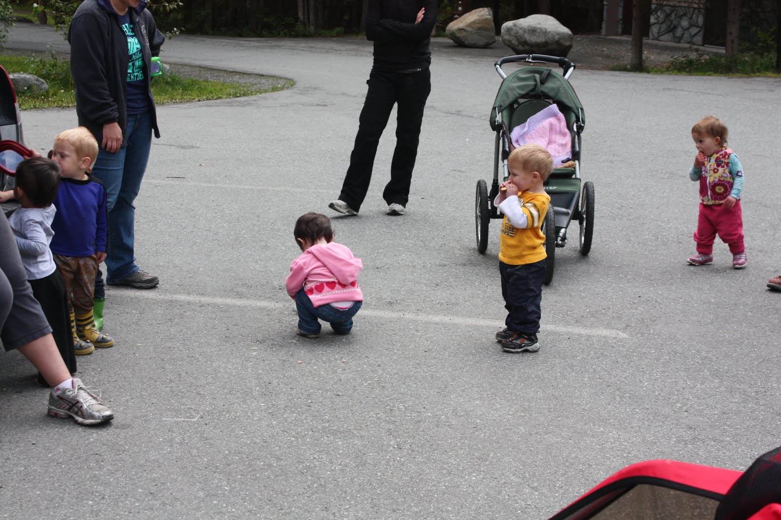

Here's the garmin data for one way of the out and back hike this morning on the Eklutna Lake Trail.

Thursday, August 11, 2011

Byron Glacier Trail


The Byron Glacier Trail is the perfect hike for a toddler! Just shy of a mile out, it is a flat well kept trail that is most definitely jogging stroller friendly and probably could easily accommodate a regular stroller, though it is not paved. Tucked back in the valley that houses Portage Glacier and the tunnel to Whittier, it is always hit or miss as to what the weather will be like. Last year when we attempted it looked like the sun might have broke out any time on the highway, but back in the valley the winds were gusting and the rain pouring. This year we were given a gift with this phenomenally glorious sunny day! The toddlers did a lot of the hiking on their own two feet. The parent talk was of wild berries and where to pick them. Many in the group had done a recon mission to see what state the blueberries are in right now. My Little Bear and I picked a bunch of raspberries by the house.

The creek fed directly from the glacier on this hot (for Alaska) day, was too much for my little water baby. He stripped down and splashed around in the freezing water. Many played on the glacier itself. Two mamas showed their support for International Breastfeeding Week by nursing their boys on the glacier. Then we had a lovely picnic and let the kids play.


As always I forgot to turn on the Garmin at the trailhead. We actually started where we ended.


Friday, August 5, 2011

Campbell Creek Trail from... Campbell Creek Park

Ahhhhhhhhhhhh, you can almost hear the chorus of angels singing as the skies opened up and let the sun shine down us for our Trek yesterday morning. Not long after I returned home we were back to the rain we've been experiencing all week. As usual mother nature showed us her approval, and welcome the about 20 parents with their kids into the woods and on the trail for another wonderful hike with our friends. 
This week was a stroller friendly week, so we headed out on the Campbell Creek Trail from... you guess it, the Campbell Creek Park near the corner of Lake Otis & Tudor. This is a portion of the paved bike trail that weaves in and around Anchorage. It was recently added on to over the past year and now connects to the Chester Creek Trail. We traveled along on an old section and then along some of the newer connector route. We did not spot any wildlife on the trail. Typically you can see salmon in the creek, when looking from above on the many bridges, or moose, but nothing on this early August morning. Before and after the trek the kids played at the playground and some took a dip in the watering hole along the creek.


While some looped around to Elmore Rd and back to the park, the family that was going the same pace as me and my kiddo hit the Tudor overpass walkway and then retraced our steps back. Of course I did not turn my Garmin on when we left, but the full trip back was recorded. Double what you see on the map for accurate distance. Much of that was impressively done by these two toddlers on their own feet, with some stroller breaks in between.

Thursday, July 21, 2011

Ship Creek Trail

About 17 parents + 1 friend +1 grandma/sherpa + 22 kids beautiful weather + a moose+ salmon swimming up stream+ a new trail + 5.5 miles of exercise and fresh air = a fantastic morning!
Ship Creek is a new trail for both me and the Taiga Trekkers. We began at William Tyson Elementary and  turn around under the C st Bridge, downtown, all the while meadering along Ship Creek on a paved bike trail that links to the Coastal Trail. 
On the way there there was mostly blue sky, but a few drops of rain hit my windshield. I was wondering if this amazing stretch of weather would hold out another day for us, the weather forecast wasn't so sure, but mother nature seems to be on our side. Salmon were spotted in the creek, a moose made its way off the trail for us, the Chugach Mountains loomed in the near distance and wildflowers decorated the shoulder, making it a perfect morning in Anchorage, Alaska. It was so nice to meet new parents and kids.
Next week we will have a giveaway: The first five people to RSVP "Yes" to next week's Trek (7/28/11) will get a free craft kit from Green Kid Crafts, a local business owned and operated by two wonderful Taiga Trekker mamas! You have to be there to pick it up. Thanks Penny & Sue!
You may have noticed that we no longer post upcoming Treks on this site and direct everyone to RSVP at the Anchorage Outdoor Family Network. We did this for two reasons. 1) It is really helpful to get an idea of how many people are coming and we can wait for those who might be running a few minutes late. 2) There's the added security for our children that the locations are only viewable by members of AOFN.
Here's the data from the trail (I actually remembered to turn it on when we started today!).


Thursday, July 14, 2011

Twin Peaks Trail


Of course I forgot to turn the Garmin until about 2/3rds of the way up... again... but here's the data (we started where we stopped).